
Thursday was too wet to walk the ground, so I spent a few hours exploring the wetlands map that will accompany Hudson’s Bylaw 526.8. This is the draft bylaw adopted at the October council meeting which proposes to widen the buffer zone around Hudson’s designated wetlands from 10 to 30 metres.
I assume the map will be presented at the public consultation scheduled for the evening of Monday, Nov. 18 at the Community Centre. I am told this is a consultation only; there will be no petition to sign because this proposed bylaw is not subject to approval by referendum.
By my very rough estimate, the wider band of protection adopted at the last council meeting will significantly affect approximately 100 properties. These are spread throughout Hudson. The map doesn’t include cadastral numbers so I’ll list the affected streets, beginning with the lakefront:
— Main Road from about 814 to the foot of Macauley Hill, then again further east, at the foot of Birch Hill;
— all of Côte d’Azur, extending up to the last lot on Reid;
— everything on Yacht Club Road north of the tracks;
— all of Halcro;
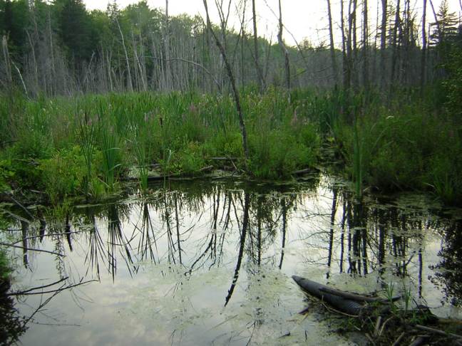
— most of Sandy Beach, including the higher ground behind the Manoir and four lots on Royalview;
— the section of Main between Amity Lane and Chipman Point down to the shoreline. (This includes the parking lots of both the Auberge Willow and the ferry.)
Moving to other designated wetlands in the urban perimeter, lots on the following streets will be impacted:
Seignieurie, Bellevue, Cambridge, Upper Whitlock, Chemin du Golf, Côte St. Charles, Charleswood (including R-55, the site of the proposed seniors campus), Oakland, Hiilcrest, Windcrest, McMartin, Wellesley, Cameron, Brookside, Woodcroft, Appleglen, Como Gardens, Royal Oak, Parsons and Wilkinson.
It appears that the 134-door Willowbrook development will lose about 20%, while Nicanco’s 256-unit residential project will be reduced to a string of doors along Beach Road.
Citizens should be made aware that the proposed bylaw, while within the town’s powers, will be challenged in court. Questions requiring better explanation:
— can the town apply the law selectively on a wetland-by-wetland basis?
— who decides whether a wetland is worth preserving?
— who pays for the added layer of environmental protection?
Will someone living on one of these affected streets be required to hire a biologist to determine the extent and value of the wetland before they replace a septic tank, erect a shed or dig a swimming pool?
Over the past couple of weeks, I’ve gotten an earful from residents who see this as a direct assault on their property rights. They accuse council of pandering to a small number of unregistered lobbyists who have worked relentlessly to make this bylaw happen. Property owners feel they’ve been lied to and jollied along by council members who seem to move the goalposts every time a project nears approval. They can’t understand why council is taking this route even before it has the science to back it up. They’re angry — rightly so.
Even St. Lazare councillors — themselves no slouches when it comes to blocking wetland development — wonder why Hudson took this leap without examining the legal and financial ramifications. As we prepare for the 2020 budget, how much should we set aside for legal challenges? What will we be forced to give up as a result?
I urge everyone with questions about the wetland in their back yard to present themselves at the public consultation at 7 p.m. on Monday, Nov. 18. This will be the only chance you have to see for yourself what is being proposed and to make yourself heard.
The mayor has promised to present the scientific framework for the 30-metre buffer at another public consultation on Monday, Nov. 11, again at 7 p.m. at the Community Centre. If you have the time, attend the Eco2Urb presentation to get a better understanding of the game afoot.

Brillant piece or communications……by george….i think you’ve got it!
LikeLike